PHP, Bootstrap, jQuery, Google Maps API
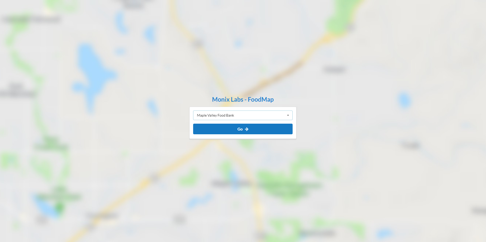
A simple web app designed for a food bank coalition in Washington to help speed up the process of determining client eligibility. The tool takes an address entered by the user, geocodes it via the Google Maps API, then determines wether or not the location is inside pre-defined GeoJSON boundaries.
Node.js, Socket.IO, PixiJS
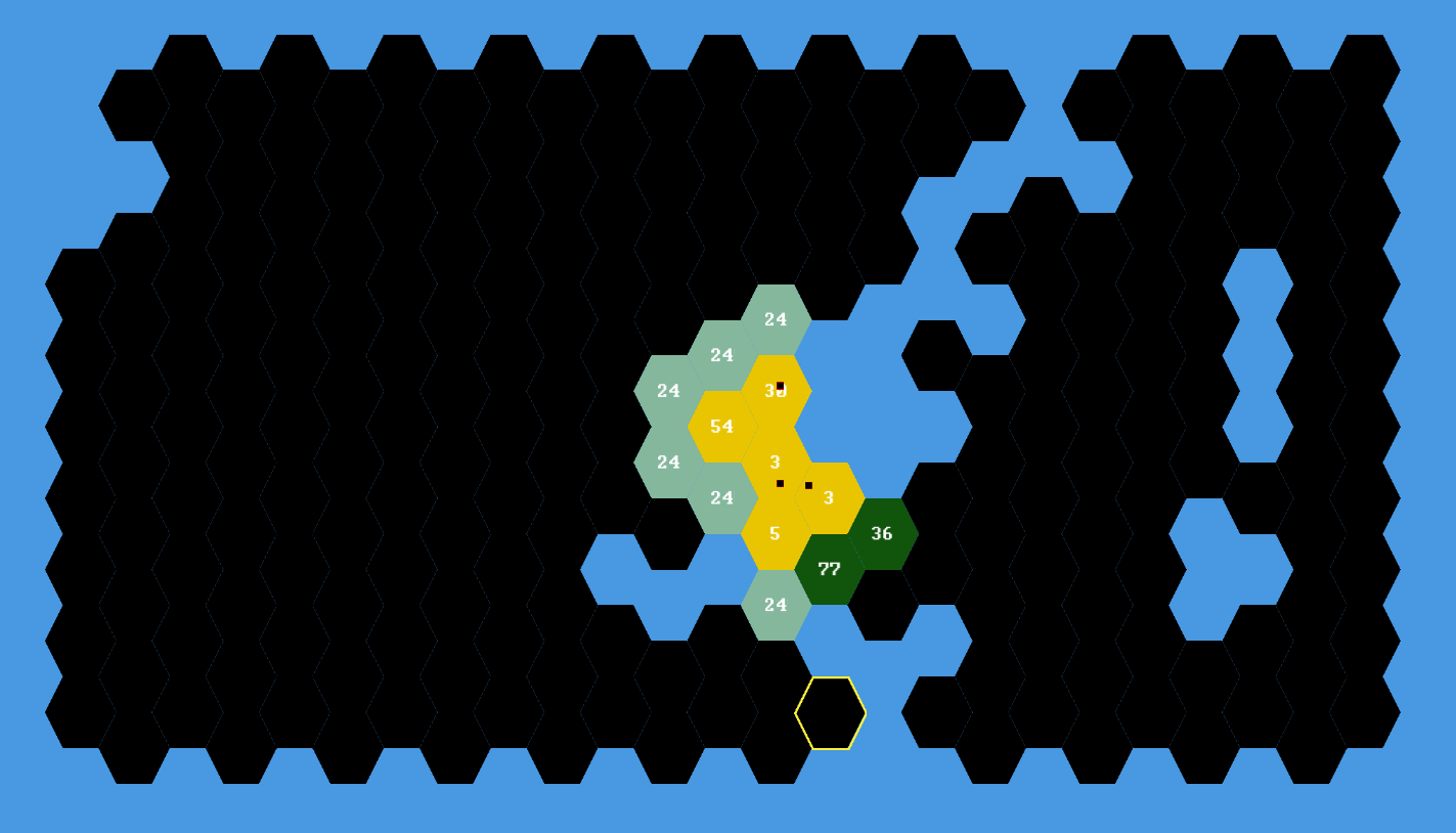
A browser-based realtime multiplayer game inspired by the board game 'Risk'. Based on an authoritative server model, maps are randomly generated, matchmaking is automated, unit movements are handled by the A* pathfinding algorithm, and movements/unit counts/territory ownership are all synced between clients and the server in realtime.
WA Voter Registration Database Mapper
PHP, MySQL, jQuery, OpenStreetMap API, Bootstrap
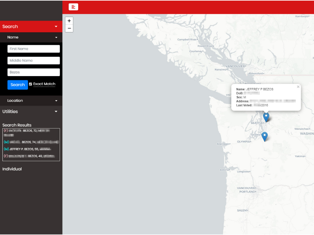
This is a personal project which provides an interface for mapping the locations of registered voters in Washington state. The VRDB was sourced from the Secretary of State and imported to a MySQL database on my VPS. A crude API was designed to communicate queries with paramenters and their responses between the UI & backend. Address geocoding and map rendering is handled with the OpenStreetMaps API.
The DPRK Website Guide (link)
WordPress, HTML/CSS/JS

A website I was contracted to develop for an international tourism company. Built with WordPress, the purpose of the site is to act as a hub for websites which are hosted by or related to the Democratic People's Republic of Korea.
Young Pioneer Tours Landing Page (link)
WordPress, HTML/CSS/JS

A very simply landing page I was contracted to make which advertises tours to the Democratic People's Republic of Korea.


